We have hundreds of free self-guided walks, listed below, for you to read, download or follow using the on-line OS maps.
Apart from being healthy Walking is definitely a low carbon leisure activity, as long as it doesn't require high carbon modes of transport to get to and from the walk itself. UK main-line trains and coaches have substantially better carbon footprints than most cars, unless car occupancy is greater than two people. Also, there is the CO2 production relating to hotel stays and restaurant meals. Some hotels and B&Bs are concerned to increase their sustainability and list this on their websites.
Our walks are listed below. To see details of a walk click on its link to take you to a webpage with an OS map showing our track and some clickable 'points of interest'. There are some photos (of variable quality) and a description of how we travelled to and from the walk, as well as notes on nature or history (as we are experts in neither, please don't quote us!)
We've completed four National Trails and made notes on how we've organised our trips. You can see our route on a live map by clicking the following links
Our latest projects are walking the Pembrokeshire Coast Path, another National Trail. We have enjoyed several walks in the Peak District, accessible by train. Click below to see our progress so far. A minor current project is walking the length of the Thames & Severn Link, going from the source of the Thames to the Severn Estuary. We are making use of the stunning Settle to Carlisle railway line to do some hiking in the Yorkshire Dales. The Heart of Wales railway line (from Shrewsbury to Swansea) has only recently made us aware of the existence of this trainline weaving its way through the Cambrian Mountains, helping us to explore more walks in the Wales England border area (see Marches Walks below). Links to completed routes are shown below.
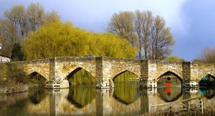
- Marches Walks - Welsh/English borders
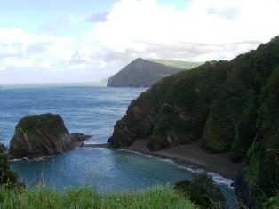
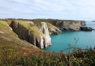
- Pembrokeshire Coast Path
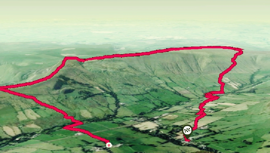
- Peak District walks around Edale
- Thames & Severn Link
- Yorkshire Dales National Park
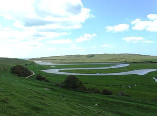
- South Downs walks near Alfriston
We also have some Local Walks (close to West London, within the M25) which you can see at the links below.
- 1. Offas Dyke - Five Turnings to Knighton
- 2. The Long Mynd - Circular Walk from Church Stretton
- 3. Cadair Idris via the Minffordd Path
- 4. Circular Walk from Dunster
- 5. Hill Forts near Dunster
- 6. Holes Bay from Poole Quay
- 7. Skirrid Fawr from Abergavenny
- 8. Blorenge from Abergavenny
- 9. The Shutlingsloe Matterhorn
- 10. Caer Caradoc from Church Stretton
- 11. Circular walk around Berwick upon Tweed
and a random bunch of Walks further afield:-
Use scroll and zoom buttons on map to move around.
You can find many other walks which make use of public transport to get to and from start and end points at Car Free Walks Of course there are many other websites about walking, far too many to list here, but here are seven others which we have found useful for providing walking route ideas: Viewranger, Walking World, The Outdoor Guide, iFootpath, Walking Britain, Walking-Routes and Open Paths & Trails.
We cannot accept any responsibility for out-of-date or incorrect information on the linked walks pages.
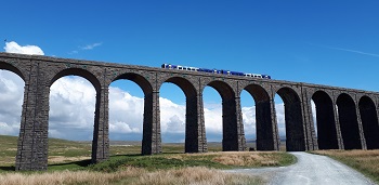 Ribblehead viaduct with train
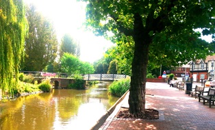
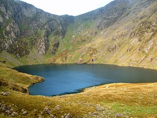 Llyn Cau on Cadair Idris
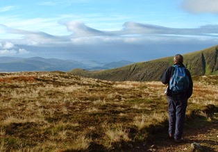 Cloud waves