WELSH-ENGLISH BORDER WALKS - THE MARCHES
Stretching from the Severn Estuary to the mouth of the Dee, the Welsh English border lands is one of the best areas in the UK for hill walking. The mountains (for some of the Cambrian peaks do achieve the official designation: over 600 metres etc. etc.) are beautiful in ways that somehow surpass the overall appeal of the Pennines, for example. The highest peaks rise to over 700m but they are generally rounded and grassy, less rocky than the Dales or the Peak District. The geology of the various ranges of hills is very complex, covering as it does, the Black Mountains, the Malvern Hills, Church Stretton and the Long Mynd as well as the Cambrian Mountains, including several areas of outstanding natural beauty (AONB).
Getting There (by Public Transport)
Our Marches walks tend to cluster along railway lines rather than following the line of the actual border. There's already a National Trail which does this, Offa's Dyke Path. We have a few walks along a small part of this almost 300 km long walk. With a ditch on the West and a bank to the East, the 240 km long linear earthwork is believed to have been commissioned by King Offa of Mercia, in the second half of the 8th century. The Dyke may have been a defensive structure or it may just have been a hugely impressive border marker, between the kingdoms of Mercia and Powys.
The railways are less impressive but probably more useful to walkers. From Shrewsbury the railway passes Caer Caradoc, the Long Mynd and Wenlock Edge, all within walking distance of Church Stretton. The next station down the line, Craven Arms, is where the track branches onto the Heart of Wales line, heading South West, to Knighton and Knucklas (with a great walk from one to the other, via Offa's Dyke and across the beautiful Teme Valley), continuing down this line to Llandrindod Wells and then Llanwrtyd Wells, with two other hill-walks. If we had stayed on the train at Craven Arms, going South via Ludlow and Hereford, we would return to Offa's Dyke and the border town of Abergavenny. We have two more walks (The Blorenge and Skyrryd Fawr) within walking distance of the station here.
The Marches has many more walks to offer and we will be returning, to bring more routes to this page of the Greenlives site.
You can find many other walks which make use of public transport, to get to and from start and end points at Car Free Walks Of course there are many other websites about walking.
Here are our Marches walks:-
- 1. Caer Caradoc from Church Stretton
- 2. The Long Mynd - Circular Walk from Church Stretton
- 3. Offas Dyke - Five Turnings to Knighton
- 4. Knucklas to Knighton
- 5. Llandrindod Wells to Shaky Bridge and back
- 6. Llanwrtyd Circular Walk around The Garn
- 7. Skirrid Fawr from Abergavenny
- 8. Blorenge from Abergavenny
Use scroll and zoom buttons on map to move around.
Get Ordnance Survey maps on your website to enhance the service and customer experience.
Disclaimer: The author of these pages takes no responsibility for the accuracy of the directions given in the guided walks described here. Any walker following these directions does so entirely at their own risk.
 Caer Caradoc from Church Stretton
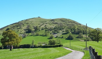
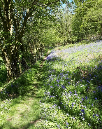 Helmeth Hill
 Offas Dyke path in high summer
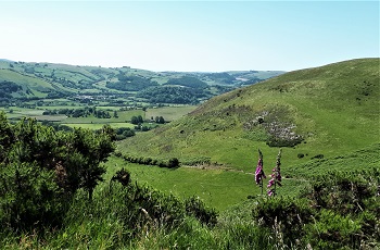 Offa's Dyke
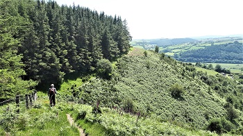 High above Knighton
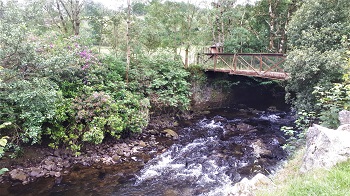 River Irfon
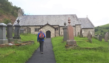 St. David's church
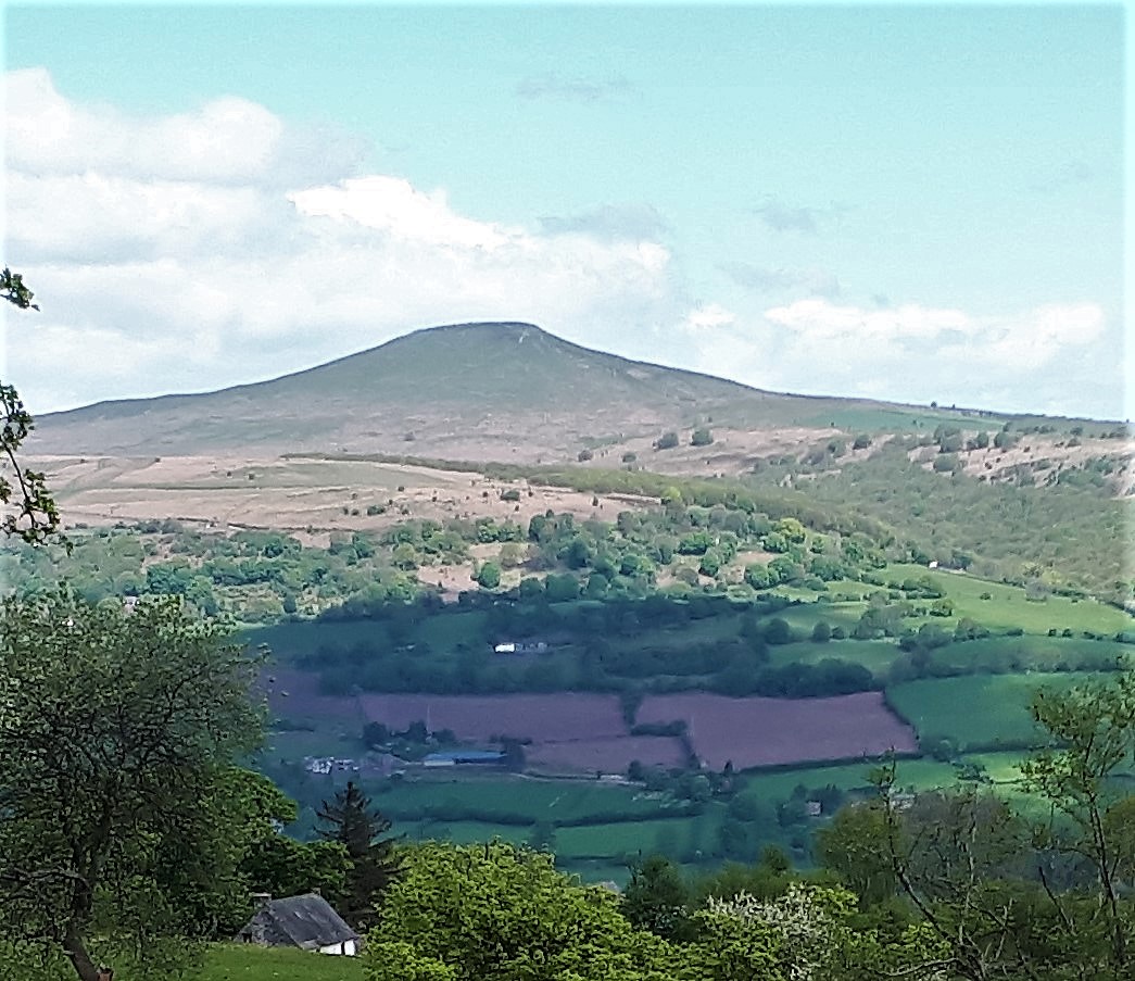 Brief sun on the Blorenge peak
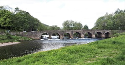 The ancient Usk bridge
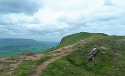 Skirrid - the summit