Get Ordnance Survey maps on your website to enhance the service and customer experience.
You can download this route to your GPS or mobile phone by clicking on the 'View route..' link on the map below (provided you have registered (free) with ViewRanger
GPX file: Click the boot to download a gpx file of this walk (track and waypoint info) Save to your gps device.
Location & Spoken Description
Many of the more recent Greenlives walks have a facility to show your present position on the live map. To find where you are just click on the button to the right of the map labelled 'Where am I?'.
Click here for your position.
You can also hear a spoken description of the entire walk by pressing the 'Play' button. When you've had enough, just press 'Stop'.
Click for walk description
If you have allowed your browser to send your location data the live map will centre itself where you are and a '0' marker will appear. Your positon on the map will be updated every few seconds and a new marker will be displayed.
A few of the most recent walks also provide audio description. After you have pressed the "Where am I?" button a voice will alert you as soon as you come close to any of the marked points of interest (provided your browser supports 'text-to-speech' and you have this function enabled).
You can repeat the spoken information about any of the points of interest by clicking on the 'speaker' icon next to all of the numbered markers on the path. Just press the 'Stop' button on the right hand panel to interrupt this before it ends.
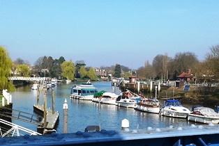 Teddington Lock, below the weir
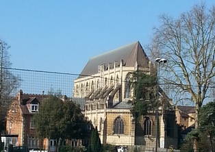 Landmark Arts Centre
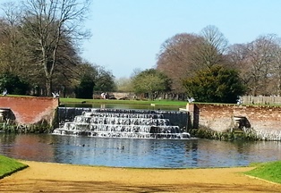 Water Gardens cascade
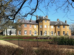 Upper Lodge, Bushy Park
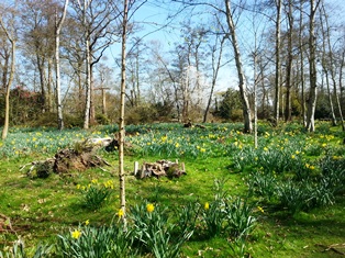 Woodland garden, Bushy Park
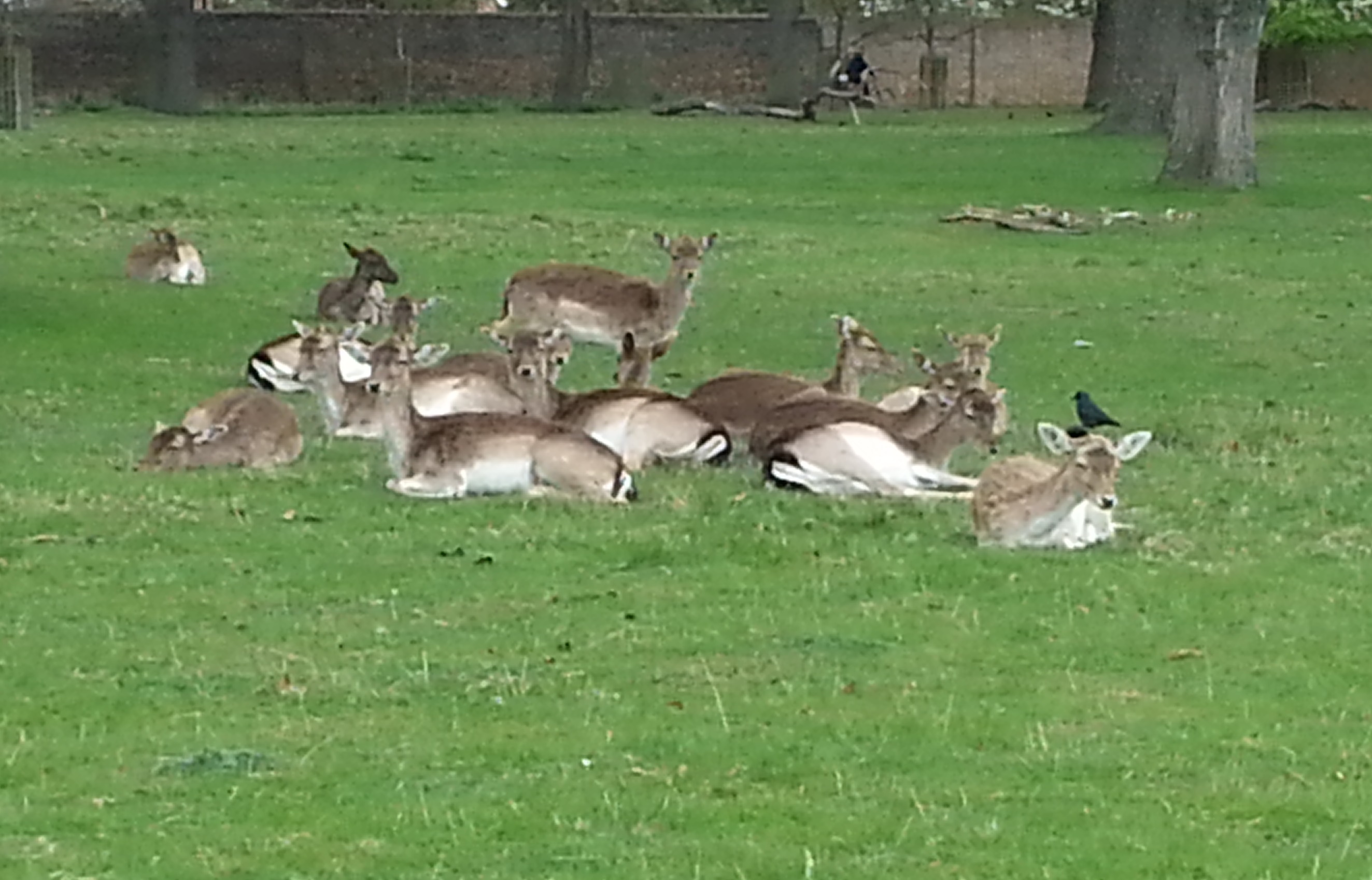 Fallow deer, Bushy Park
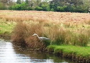 Heron, Bushy Park
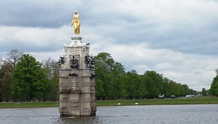 Diana Fountain, Bushy Park
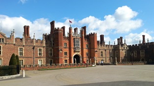 Hampton Court Palace
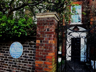 Christopher Wrens house