The D of N River in Mogden (thanks to Jim Linwood for this)
Richmond Lock
JMW Turner's House
More images of Twickenham & the Thames...
Twickenham riverside
Church St., the Fox
York House
Sion Row
The Octagon Room, Orleans House
Marble Hill House
GPX file: Click the boot to download a gpx file of this walk (track and waypoint info) Save to your gps device.
Location & Spoken Description
Many of the more recent Greenlives walks have a facility to show your present position on the live map. To find where you are just click on the button to the right of the map labelled 'Where am I?'.
Click here for your position.
You can also hear a spoken description of the entire walk by pressing the 'Play' button. When you've had enough, just press 'Stop'.
Click for walk description
If you have allowed your browser to send your location data the live map will centre itself where you are and a '0' marker will appear. Your positon on the map will be updated every few seconds and a new marker will be displayed.
A few of the most recent walks also provide audio description. After you have pressed the "Where am I?" button a voice will alert you as soon as you come close to any of the marked points of interest (provided your browser supports 'text-to-speech' and you have this function enabled).
You can repeat the spoken information about any of the points of interest by clicking on the 'speaker' icon next to all of the numbered markers on the path. Just press the 'Stop' button on the right hand panel to interrupt this before it ends.
GPX file: Click the boot to download a gpx file of this walk (track and waypoint info) Save to your gps device.
Location & Spoken Description
Many Greenlives walks can show your present position on the live map. Just click the 'Locate me' button (below)'.
Press the 'Play' button to hear a description of the walk. When you've had enough, just press 'Stop'.
If you let your browser send your location data, the live map will centre itself where you are and a '0' marker appears. Your positon will update every few seconds with a new marker.
Some Greenlives walks also have audio POI description. If you have pressed the "Where am I?" button then as soon as you come close to any of the marked POIs on the map, a voice will describe them.
You can repeat the spoken info by clicking its map number icon. Just press 'Stop' on the right hand panel when you have heard enough.
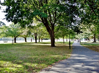 Moor Mead park
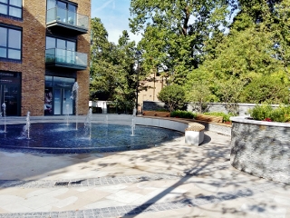 Path entrance at Twickenham Station
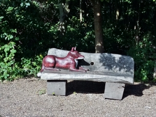 Do sit down!
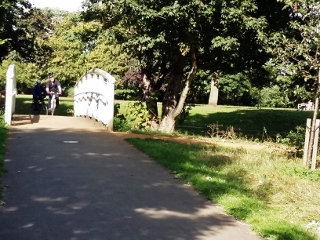 Bridge over the River Crane
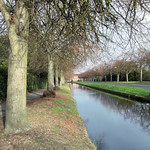 The D of N River in Mogden (thanks to Jim Linwood for this)
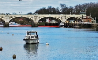 Richmond Lock
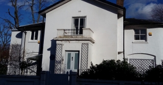 JMW Turner's House
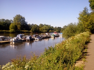 Twickenham riverside
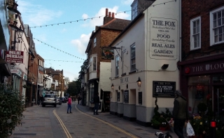 Church St., the Fox
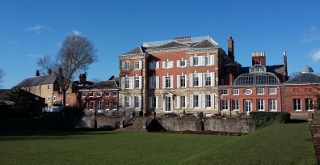 York House
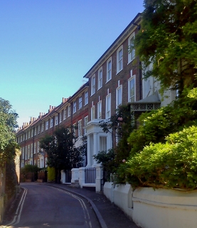 Sion Row
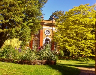 The Octagon Room, Orleans House
 Marble Hill House