Stage 22 OS Map of Stage 23 Stage 24
Use scroll and zoom buttons on map to move around.CONSTANTINE BAY TO MAWGAN PORTH Stage 23 (6th July 2008)
We caught the first 555 bus of the day (sunday) at 10.03 from , setting us down at 10.50 at Stores & a 10 min stroll brought us back to the SWCP. We walked over the low headland to , then on round a very wiggly section going S past Pepper Cove, Warren Cove & , each one dramatic sheer cliffs and caves, all with nesting gulls. The weather was windy but mainly sunny, in contrast to the previous day, so we took many photos of flowers and generally enjoyed the scenery. After a snack break at shop there followed another wiggly section up to the exposed Park Head where the W wind was still strong. We walked up a new stone surfaced path with steps (to reduce walker-related damage to the surroundings) to the NT centre at . After a cream tea we came out to find the rain had returned with a vengeance so we only continued for another 45 mins to and where we caught a 556 bus back to Wadebridge, arriving at around 17.00.
Total walk time 4.5 hours. Total distance walked 7 miles, 11km. Ascent 189m
The South West Coast Path is the longest of the official UK National Trails, running from Minehead in Somerset round the English south west peninsula coast to Poole in Dorset. The total length is just over 1000 kilometres or, more precisely, 630 miles. Only very dedicated walkers could contemplate completing the whole walk in one go, although plenty of people have done just this. Received opinion is that it would take around 6 weeks, even for the most dedicated.
Get Ordnance Survey maps on your website to enhance the service and customer experience.
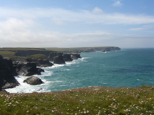 Looking south past several coves
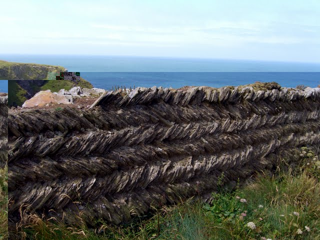 Intersting wall structure
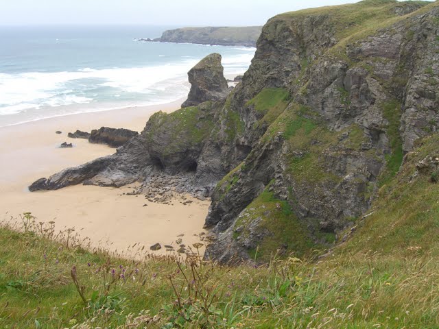 Bedruthen Steps