GPX file: Click the boot to download a gpx file of this walk (track and waypoint info) Save to your gps device.
Location & Spoken Description
Many Greenlives walks can show your present position on the live map. Just click the 'Locate me' button (below)'.
Press the 'Play' button to hear a description of the walk. When you've had enough, just press 'Stop'.
If you let your browser send your location data, the live map will centre itself where you are and a '0' marker appears. Your positon will update every few seconds with a new marker.
Some Greenlives walks also have audio POI description. If you have pressed the "Where am I?" button then as soon as you come close to any of the marked POIs on the map, a voice will describe them.
You can repeat the spoken info by clicking its map number icon. Just press 'Stop' on the right hand panel when you have heard enough.
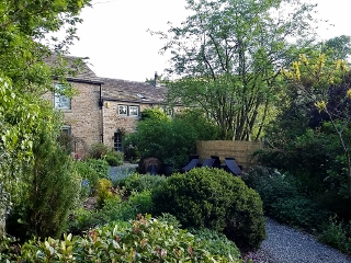 Start of walk at Ollerbrook
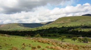 Looking back at Kinder
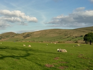 Great Ridge - Lose Hill to Hollins Cross
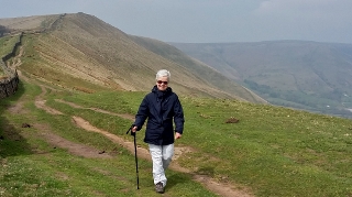 Rushup Edge and Dalehead
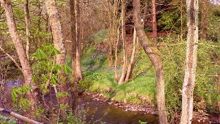 River Noe at Barber Booth
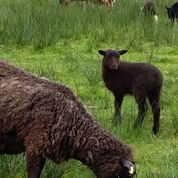 Black sheep