Use scroll and zoom buttons on map to move around.
The South West Coast Path is the longest of the official UK National Trails, running from Minehead in Somerset round the English south west peninsula coast to Poole in Dorset. The total length is just over 1000 kilometres or, more precisely, 630 miles. Only very dedicated walkers could contemplate completing the whole walk in one go, although plenty of people have done just this. Received opinion is that it would take around 6 weeks, even for the most dedicated.
GPX file: Click the boot to download a gpx file of this walk (track and waypoint info) Save to your gps device.
Location & Spoken Description
Many of the more recent Greenlives walks have a facility to show your present position on the live map. To find where you are just click on the button to the right of the map labelled 'Where am I?'.
Click here for your position.
You can also hear a spoken description of the entire walk by pressing the 'Play' button. When you've had enough, just press 'Stop'.
Click for walk description
If you have allowed your browser to send your location data the live map will centre itself where you are and a '0' marker will appear. Your positon on the map will be updated every few seconds and a new marker will be displayed.
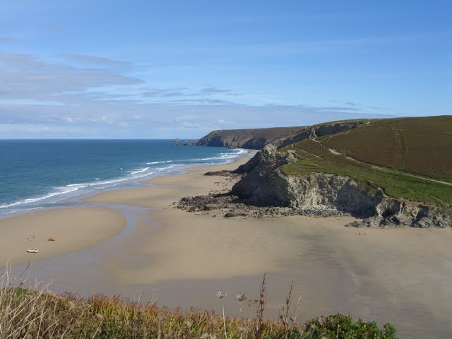 Porthtowan Beach
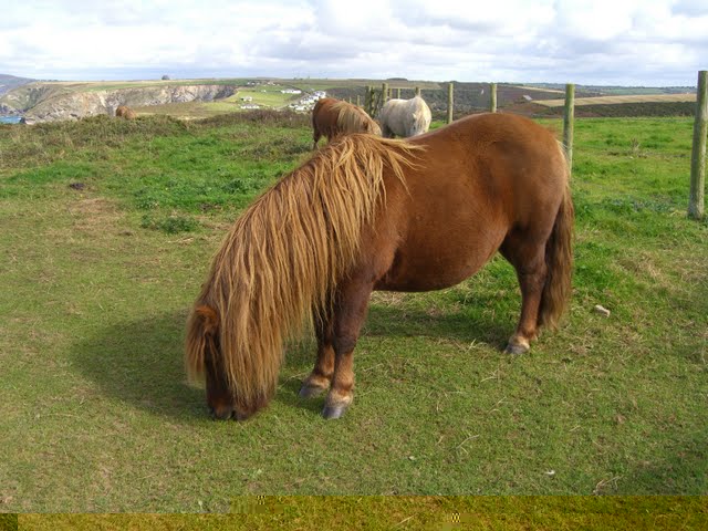 Ponies near Portreath
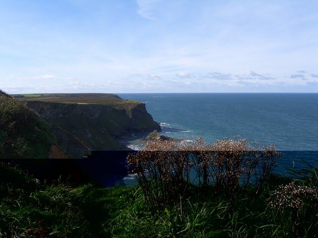 Navax Point